 Careers
 Poslovi
 Novi Kneževac, Serbia
 On-site
 Full-time
We are looking for
a GIS Engineer with a focus on processing, analyzing, and managing spatial data in GIS and CAD environments. The role includes work with GPS equipment and UAVs in the field, as well as processing and preparing collected data for further analysis and application. The ideal candidate knows cadastral surveying, has a good understanding of GIS technologies, and a responsible attitude towards entrusted equipment and data. We are looking for a practical, independent, and proactive person suited to dynamic work, with a readiness for solving tasks and problems from start to finish.
Your role
- Work with spatial data in various GIS and CAD tools (QGIS, MicroStation, Global Mapper, etc.)
- Support other departments in addressing their GIS and CAD needs
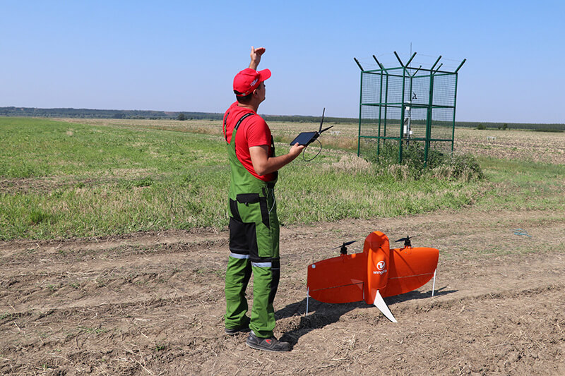
- Operate UAVs (DJI, Wingtra) in the field for the needs of monitoring parcels and crops
- Process data obtained by UAVs
- Work with GPS equipment in the field (Trimble, Emlid)
- Coordinate activities with external partners and suppliers within your scope of responsibility
- Keep up with new technologies, improvements, and best practices in spatial data management
- Work in sync with the Login5 Foundation’s values and vision
Your experiences and skills
- Several years of field experience working with GPS and other surveying equipment
- Knowledge of working with cadastral data (cadastral surveying)
- Experience working with spatial data in GIS and CAD tools
- Experience operating UAVs (DJI, Wingtra), holding a UAV licence, and knowledge of relevant aviation regulations
- Good command of English
- Category B driving licence
- Proactivity and readiness to continuously learn and expand your expertise