In our fast-paced, data-driven world, the need for real-time information and location-based insights has never been more critical. That’s why we’re pleased to announce the release of ‘Farm Maps,’ a new mobile application developed to empower our farmers in navigating and working in the fields.
Along with our already developed in-house farming software, we’re introducing a mobile Farm Maps solution that goes beyond being a simple map; it’s a dynamic tool farmers can customize to their specific needs. Our application seamlessly integrates a range of features, enabling farm workers to gain a broader perspective about their seasonal schedule, harness the power of real-time data, and maintain control on a daily basis.
Here’s what we have developed:
Map layers
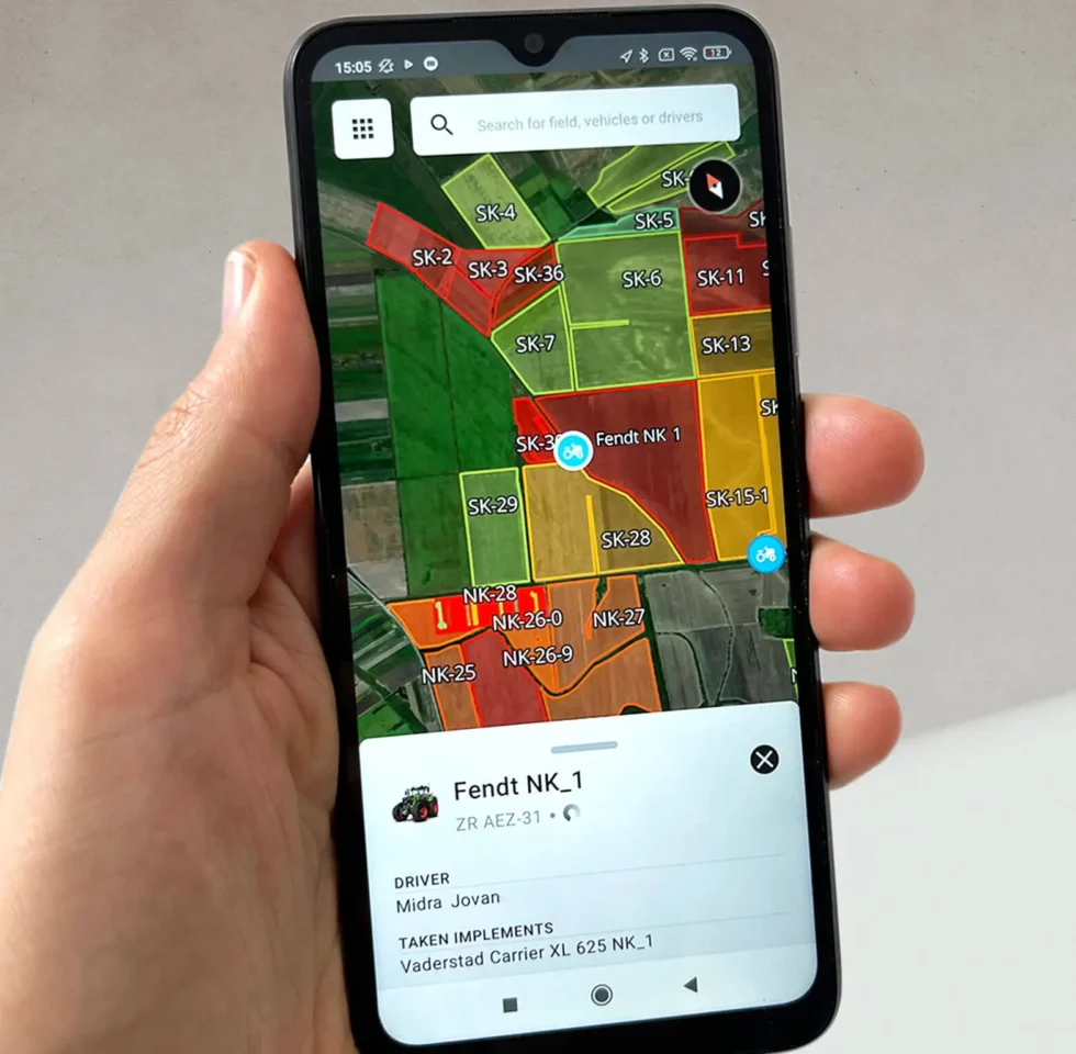
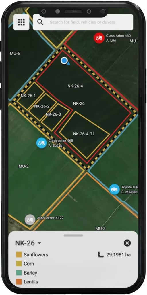
The application offers a variety of map layers, each representing distinct sections within a farm. These sections include main fields, cadastre data, neighboring fields, roads, canals, water wells, and more. These layers provide a comprehensive view of the entire farm, making it easier to manage and understand its various components.
Field Overview
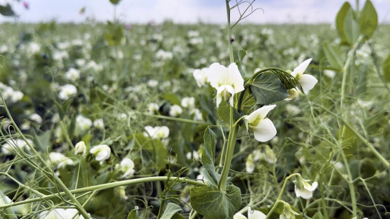
Field details include a detailed breakdown of the crops grown in each field. With the use of a convenient search tool, you can effortlessly locate and access information for each field on the map. This feature provides field borders, size, and the current crop under cultivation. In upcoming versions, we are expanding this functionality to include information about planned agricultural operations that provides a more comprehensive overview of crop rotation practices and their execution in the field.
Vehicle GPS Tracking
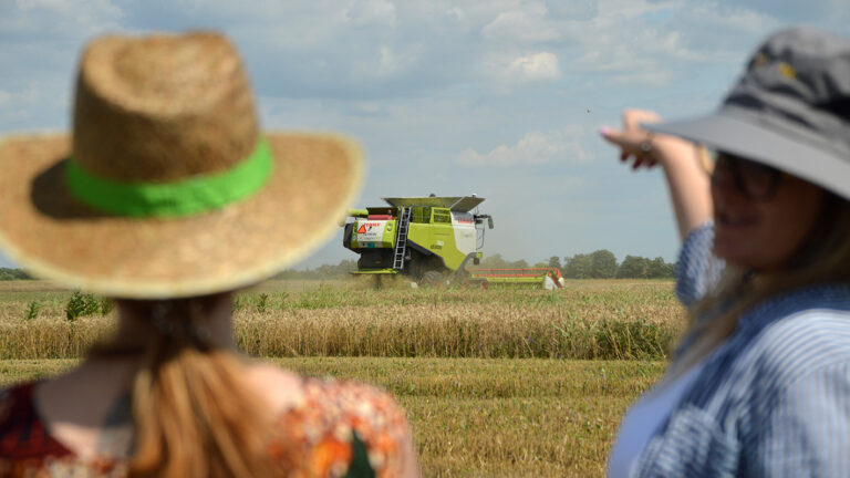
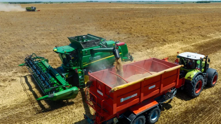
In our commitment to efficient farm management, we understand the importance of knowing the precise location of our machines and the tasks they’re performing. Farm Map equips our farm workers with real-time vehicle GPS tracking, enabling us to improve logistics, enhance productivity, and make informed decisions while on the move. Additionally, our application provides real-time insights into the whereabouts of our active drivers, which offers a comprehensive view of who’s behind the wheel and enables better operational oversight.
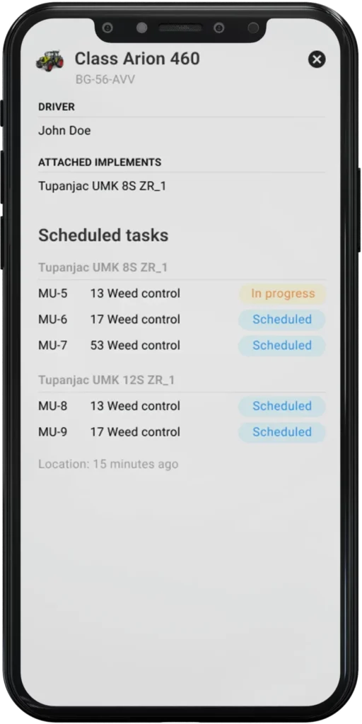
While the first version of the app has just been released, we are already working on additional features to enhance the experience for farmers in the field. These soon-to-come features include easy display of scheduled operations and crop rotation, real-time progress tracking for work on each field, notifications for field obstacles, coverage mapping, and more.